|
INTERNET MAP SERVERS (IMS's)
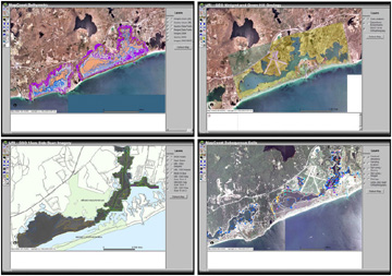
| MapCoast is developing a
readily accessible database of soils and sediment in coastal Rhode Island that meets the variety of needs of the user community. The initiative strives to
create a seamless soils/ sediment database of the coastal plain above and five meters below the sea surface. It will map submerged habitats that are
crucial to support our fish and shellfish populations. MapCoast will also develop a high resolution, accurate digital terrain
model (topography and bathymetry) above and below the sea surface in coastal environments.
|
 |
| The need to chart the uses of Rhode Island waters has been apparent for years. As the population in the region continues to grow more conflicting uses will be proposed for the waters of Rhode Island. The marine waters of Rhode Island are heavily used by a wide variety of interests. This project is designed to identify users of the state's waters; critical to the planning of any future development. | 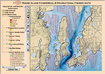 |
| The Restoration Atlas is an interactive mapping application for coastal Rhode Island that allows you to zoom to different scales, identify a point of interest, and overlay restoration data with other data sets. For planning restoration activities, you can use the Restoration Atlas to find out: Are there nearby wetlands that could benefit from the restoration?; Does the restoration site occur in a region having historical value?; Are there protected (rare) species habitats near the restoration site?; What potential use conflicts exist in the region? | 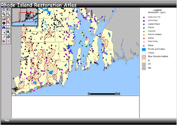 |
| This project aims to make statewide digital imagery available to the Rhode Island community via the internet. Available imagesets include: 24k USGS topographic maps; 1997 RI DOT black and white orthophotos; and 2003 USDA NAID color orthophotos. | 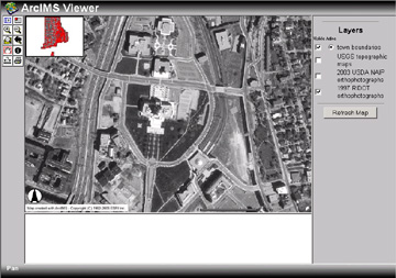 |
| Multiple data viewers are available from the RIDEM website. | 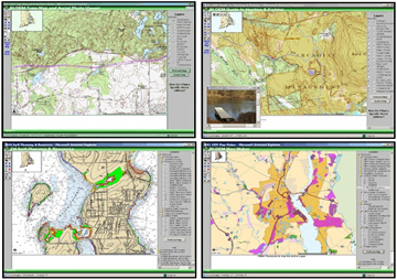 |
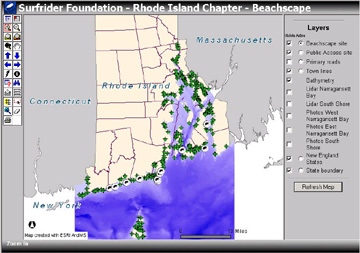
| Surfers
and other coastal recreationists are an invaluable source of information
on the health of our coasts. Surfrider's Beachscape program is designed
to take advantage of what we notice, to compile the information
into a database, and to map coastal features particular to Surfrider's
interests. |
 |