GIS
Data Products for the RI Offshore/Ocean SAMP Project
|
|
 |
Ocean SAMP GIS Standards
To best address the large amount of data that will be produced during this project, The SAMP Management Team has developed a
GIS Data Standards document to assist PIs.
Download the metadata template. This template will
work for both ArcGIS and TKME users.
|
|


|
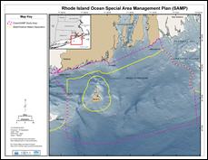 |
Ocean SAMP Map Template
Three versions of the template exist. Be sure to download the correct version.
ArcGIS
9.3 Template
ArcGIS
9.2 Template
ArcGIS 9.0/9.1 Template
Download the zip file to your local machine, and extract the file to your drive location. There will be a single mxd file that references
ArcGIS Server data sources.
|
|
|
|